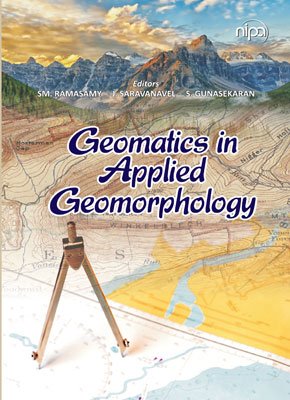
| The authors, as geologists, have been privileged to work in the field of Geomatics technology, which encompasses Remote Sensing, GIS, GPS, and other related technologies. With a clear objective of elucidating the Quaternary geological history of different regions of the Indian Peninsula, the senior author has been engaged in this pursuit for the past four decades, while the co-authors have been contributing to this effort for the past one and a half decades. As geomorphology, a major branch of geology, not only deals with the external landscape architecture of the planet Earth but also holds records of the Quaternary tectonics, riverine, coastal, aeolian, glacial, volcanic, and other geomorphic processes that occurred during this period. Motivated by this, the authors undertook studies on riverine life histories, shoreline changes, and offshore land building phenomena, as well as recent earth movements that can be gleaned from geomorphic anomalies, Holocene tectonics, and their influence on Quaternary deltas, among other topics. Additionally, the authors have delved deeply into geomorphology, with a particular focus on mapping and mitigating natural disasters such as seismotectonics, landslides, and the response of coastal geomorphology to tsunami surges and floods, among other phenomena. In this way, the authors have endeavored to unveil the geological history of the Quaternary period, while also contributing to the broader field of geomorphology. |
| author | SM. Ramasamy, J. Saravanavel & S. Gunasekaran |
|---|---|
| publisher | nipa |
| language | English |
| pages | 368 |


